Utah's Most Spectacular Road
UT-12 & Escalante
One of the most dramatic drives on the continent runs right through your trip. Here's how to do it right — whether you're arriving from Bryce Canyon or heading out toward Capitol Reef and beyond.
Most people drive straight between Bryce Canyon and Zion and call it a trip. But UT-12 goes the other direction from Bryce — east, into some of the most geologically absurd terrain in North America. If you route your trip through it, either arriving or departing, it changes what the whole trip is.
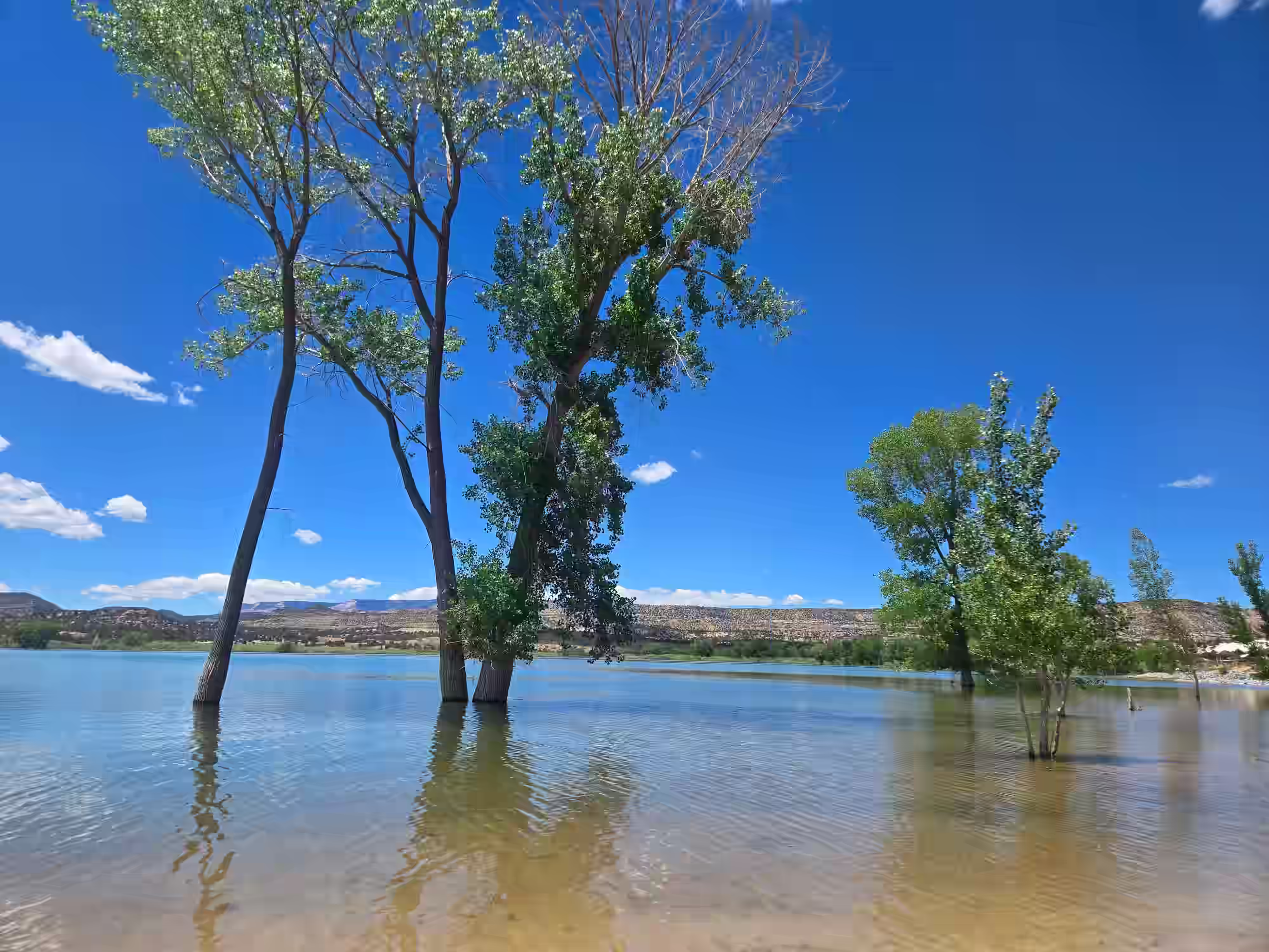
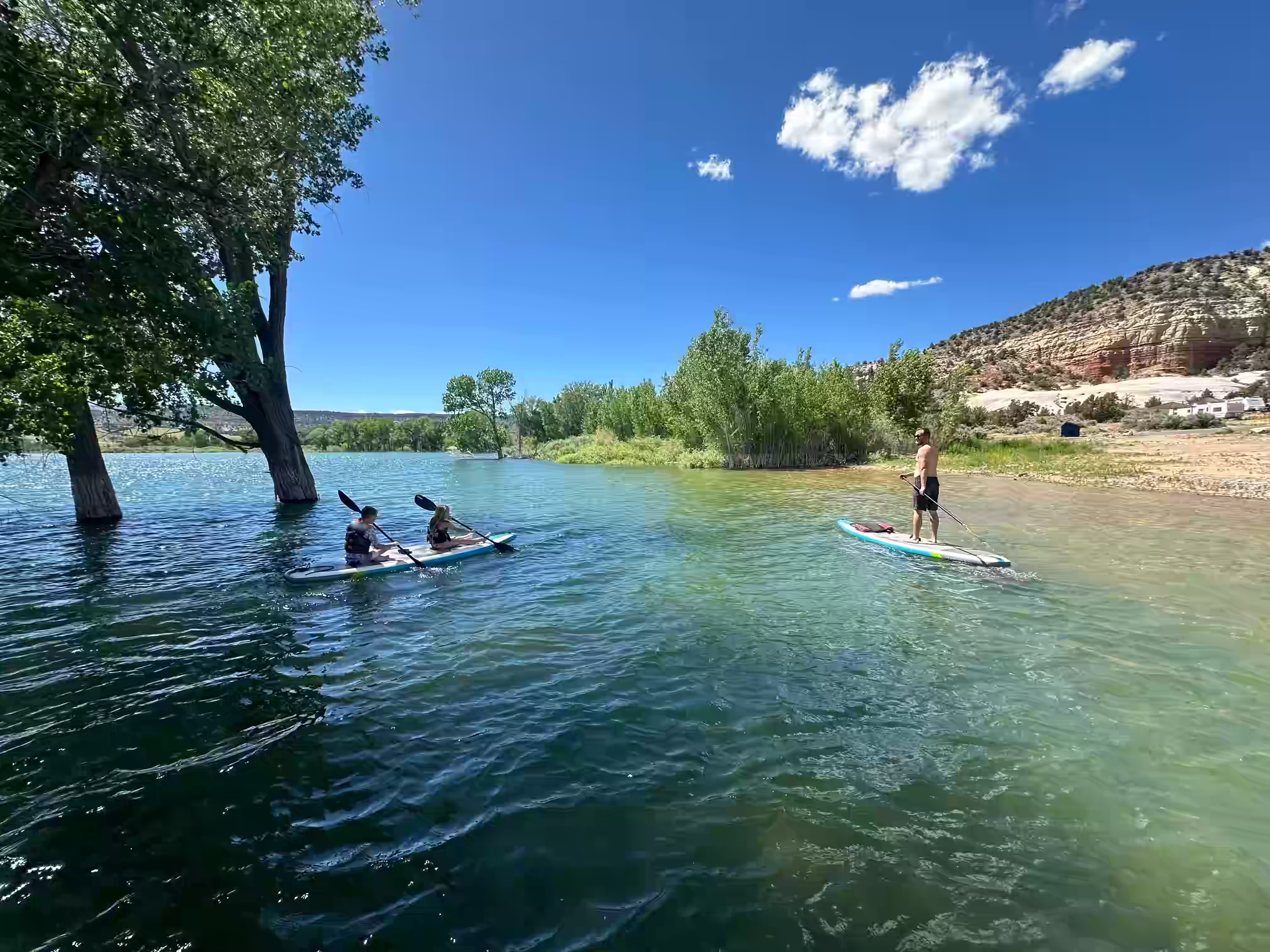
Grand Staircase-Escalante National Monument surrounds most of it. The monument covers nearly 1.9 million acres of canyon, mesa, and badlands — one of the largest and most remote protected areas in the lower 48. No other road gives you access to it like UT-12 does.
From Starlit Ridge, you're at the western gateway of UT-12 — 40 minutes from Red Canyon, an hour from Calf Creek Falls. The road doesn't work as a loop. It's a one-way route: either you drive it arriving from the Bryce Canyon direction, making stops as you come in, or you drive it leaving — heading east toward Capitol Reef and beyond. Either way, you stop where it moves you and keep going.
At a Glance — Starlit Ridge to Escalante
The Road Itself — What Makes It Different
UT-12 is consistently ranked among the top scenic drives in the United States. National Geographic has named it one of the world's most spectacular roads. That's not marketing language — it's earned. The road passes through five distinct geological zones in about 50 miles, drops off canyon rims with essentially no guardrail, crosses a ridge so narrow you can see thousand-foot drop-offs on both sides simultaneously, and threads through a canyon so tight the rock walls close to within arm's reach of the car windows.
What makes it relevant to a Starlit Ridge trip specifically: you're already positioned at the western gateway. US-89 north from Alton connects directly to UT-12 near Panguitch. You don't need to detour — it sits naturally on the eastern edge of the Bryce-to-Zion corridor, and it sits naturally on your route whether you're arriving from the Panguitch direction or heading east when you leave.
Mile by Mile — The Key Stops
These are ordered driving east from US-89. Distances are approximate from the UT-12 / US-89 junction near Panguitch.
0–3
~14
~17
~18–25
~30
~38
~39
~40
~42
~44
~46
~49
~52
2 mi
7 mi
~66
Trip
~85–95
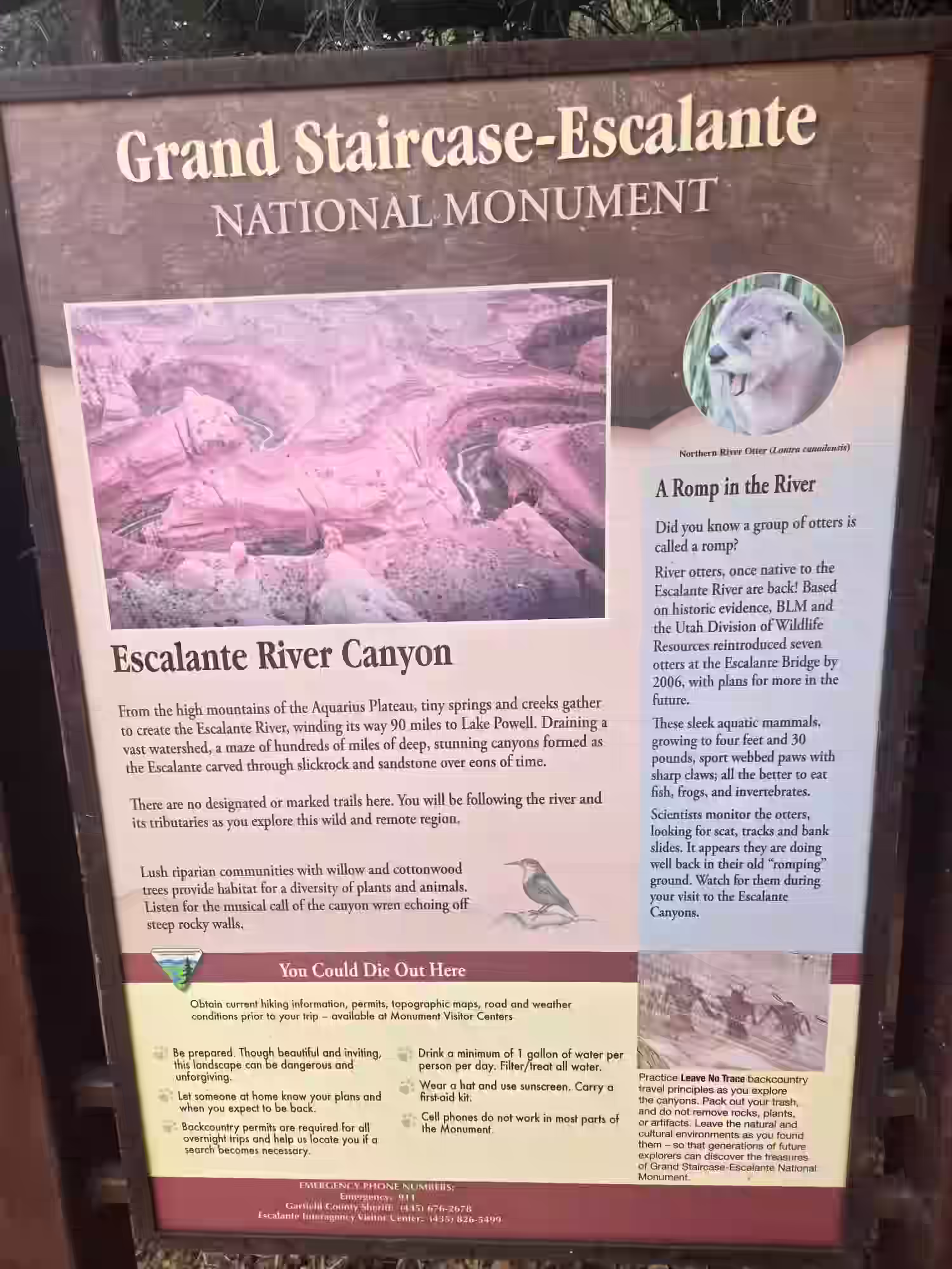
Grand Staircase-Escalante — What It Actually Is
The Monument
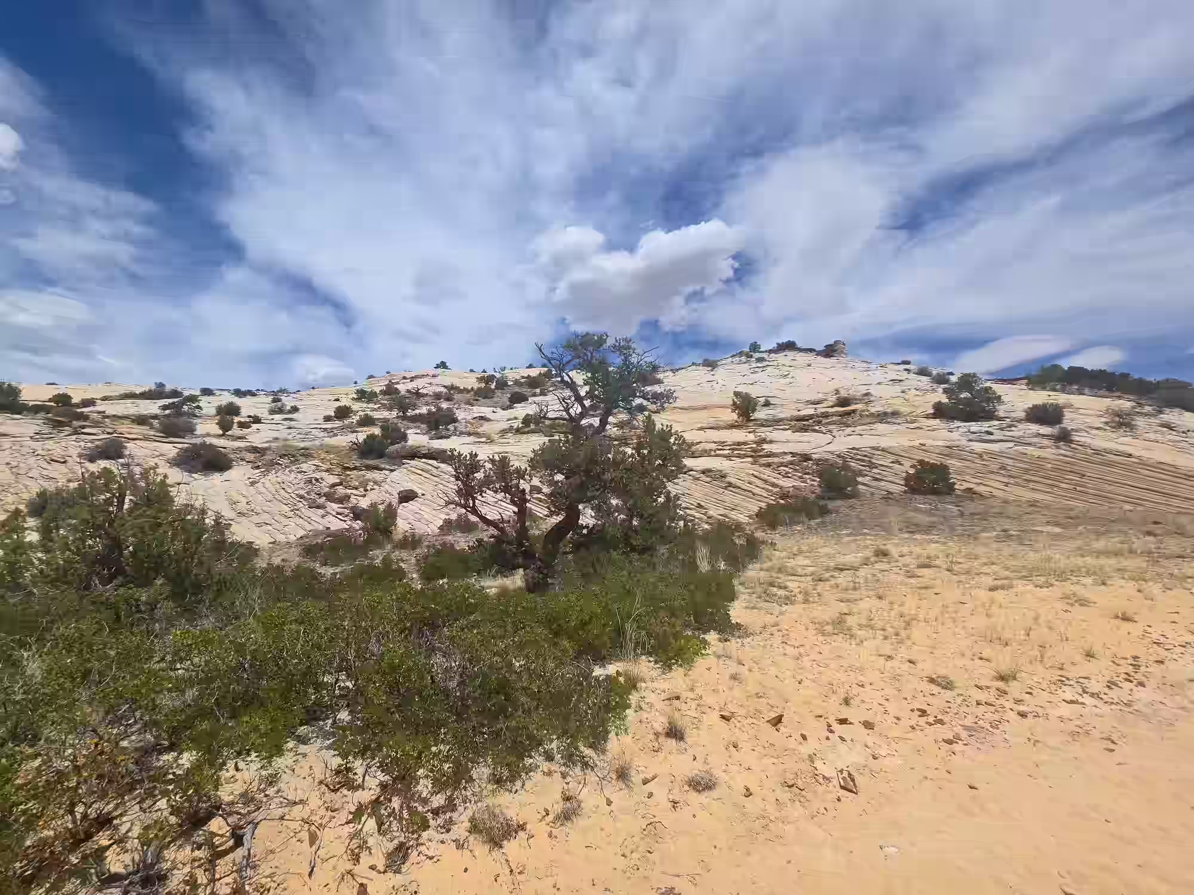
Grand Staircase-Escalante National Monument was designated in 1996 and covers nearly 1.9 million acres across three distinct regions: the Grand Staircase (a series of geological terraces stepping up from the Colorado River), the Kaiparowits Plateau (a fossil-rich badlands), and the Escalante Canyons (the slot canyon and canyon country most visitors explore).
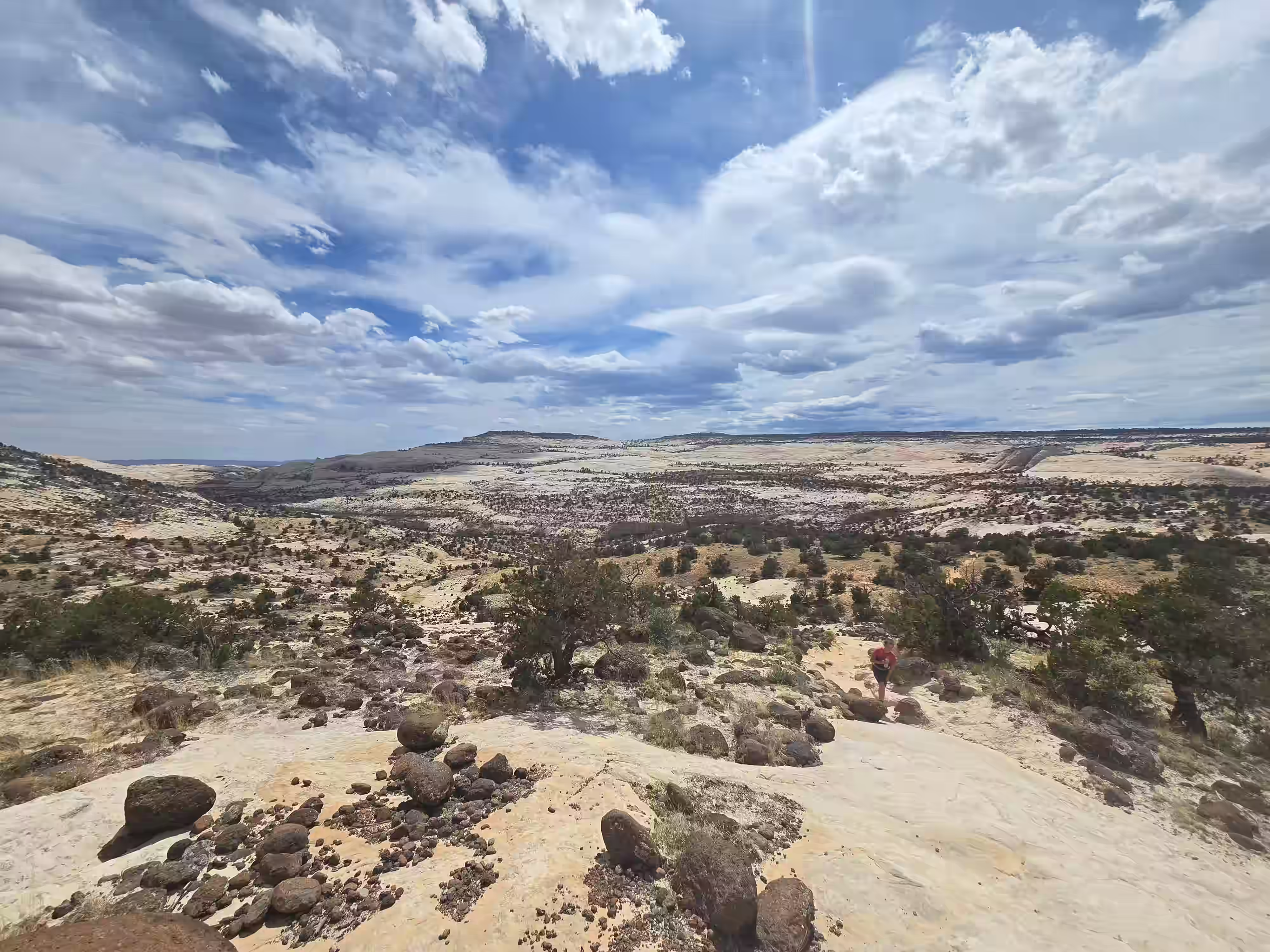
It's one of the least-visited major monuments in the American West — partly because it's genuinely remote, partly because there are no visitor centers inside the actual monument, and partly because it doesn't have a single iconic landmark the way Zion or Bryce do. What it has instead is scale. You could spend three weeks in the Escalante Canyons alone and not see the same canyon twice.
Passing through on UT-12, you're barely scratching the surface — but scratching the surface of GSENM is still more remarkable than going deep into most places.
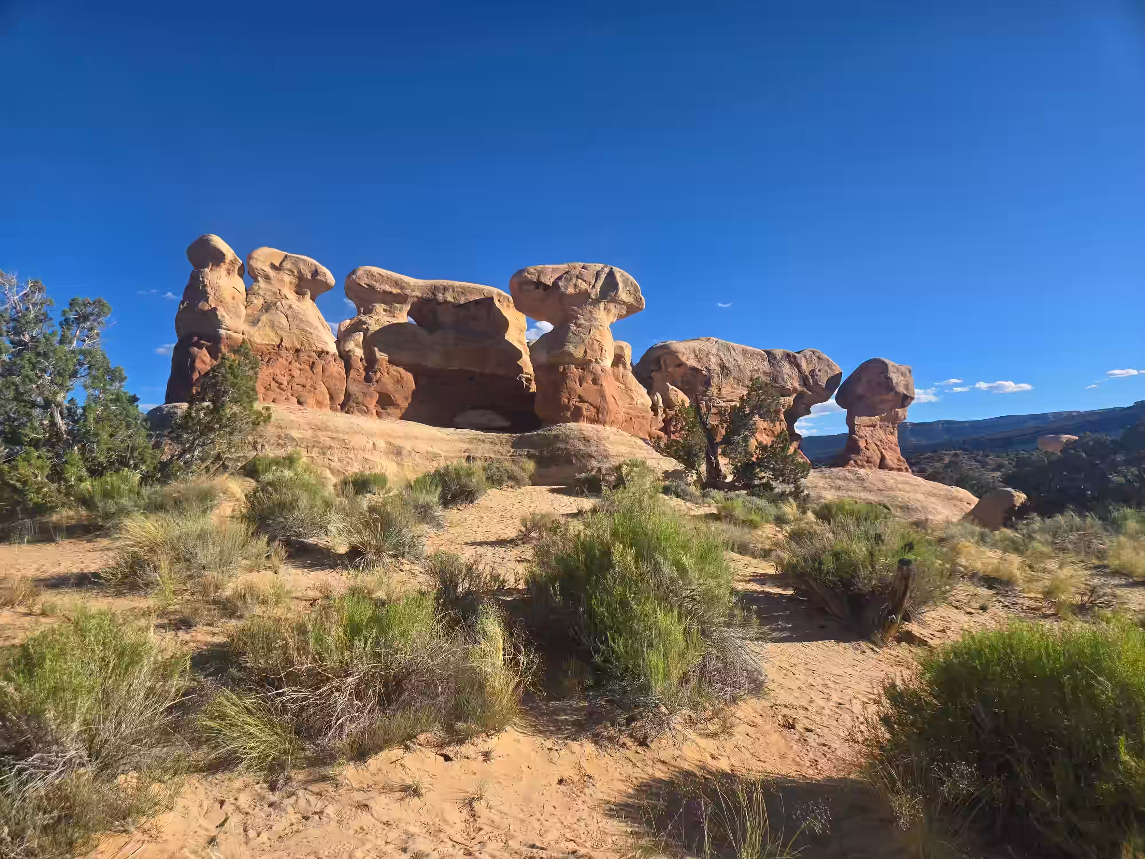
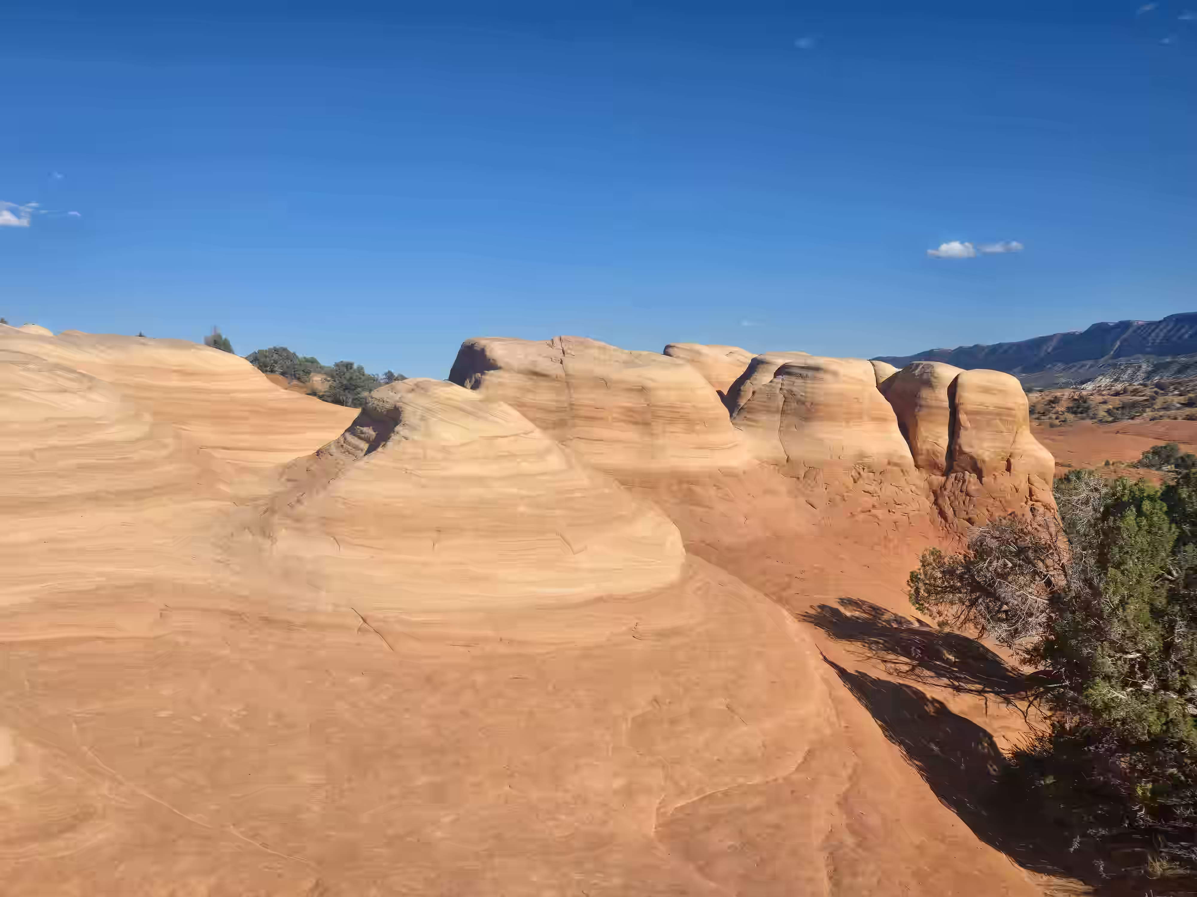
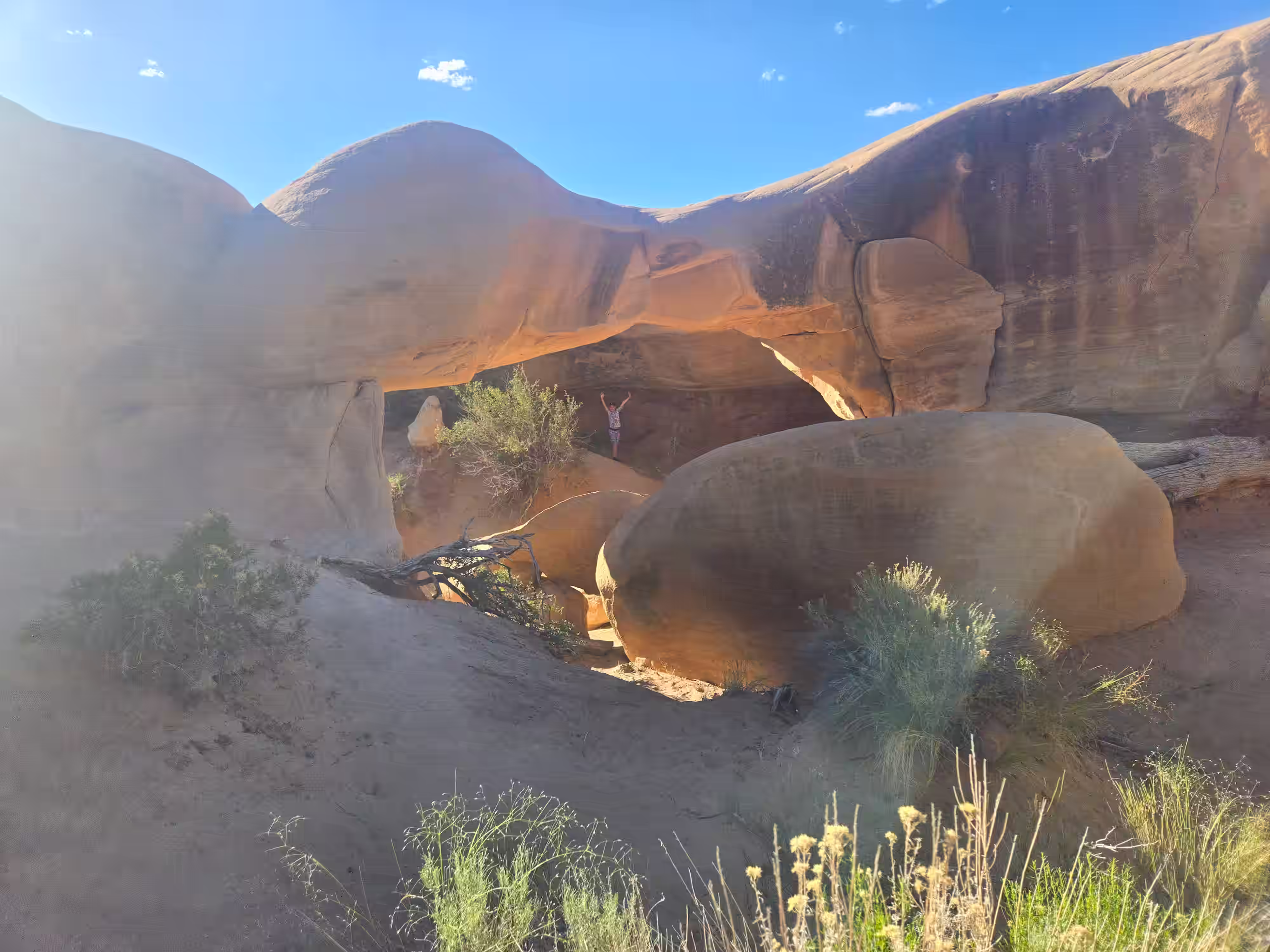
Slot Canyons — The Short Ones
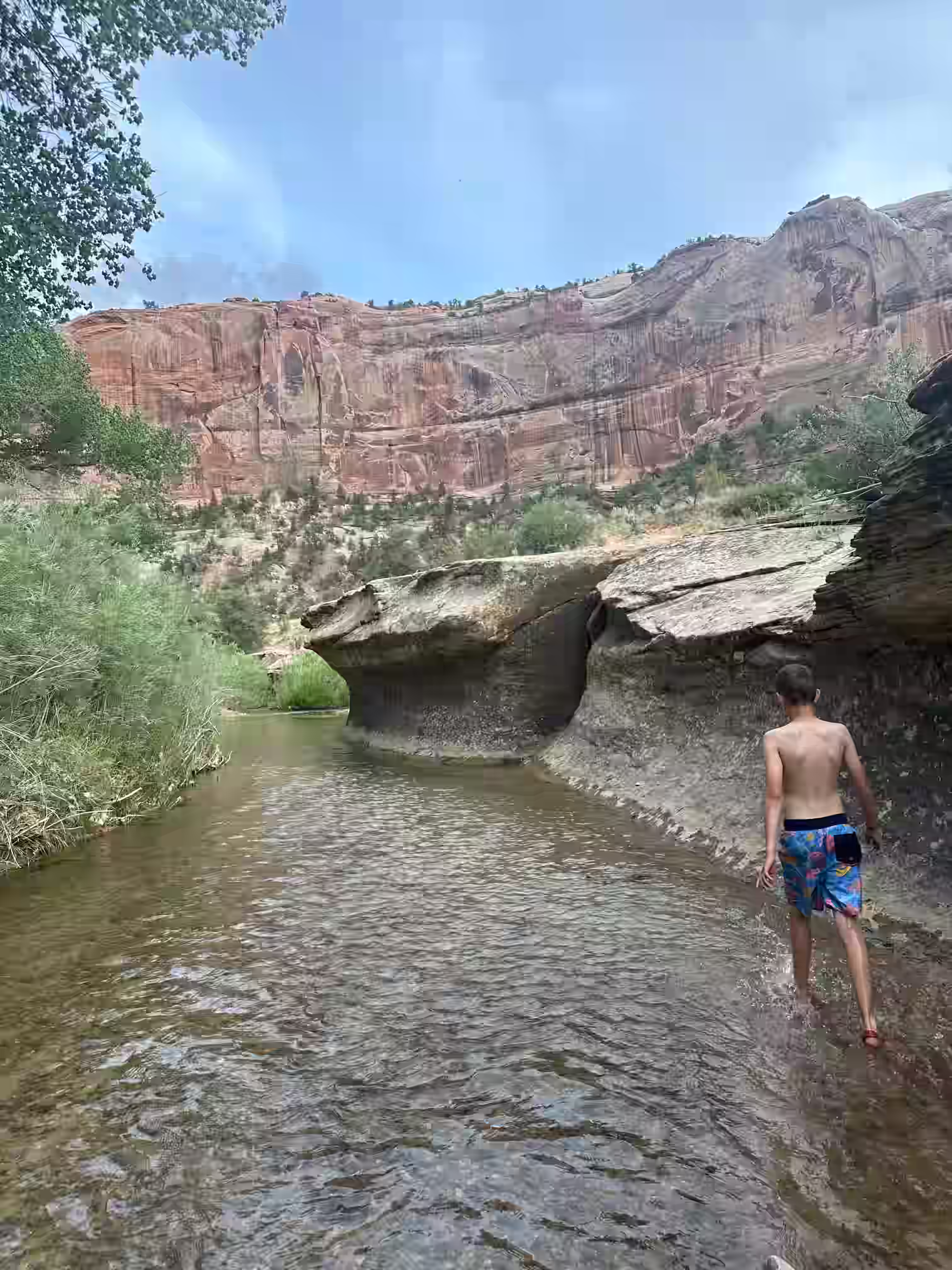
The Escalante area has slot canyons that rival Antelope Canyon in beauty but require a 30-minute drive on a dirt road instead of a $50 guided tour with 200 other people. Spooky Gulch, Peek-a-Boo Gulch, and Brimstone Gulch are all accessible off Hole-in-the-Rock Road south of Escalante. Spooky is genuinely tight — narrower than shoulder-width in places — and the light inside on a sunny afternoon is extraordinary.
Willis Creek Slot Canyon — The Easiest Win
Willis Creek is 25 miles south of Alton on Skutumpah Road — technically reachable without even going to Escalante. It's also listed in the Starlit Ridge hiking guide. It's a 4-mile round trip wading through a narrow canyon carved into Navajo sandstone, with walls that close overhead and light filtering down in shifting patterns. One of the most accessible slot canyon experiences near the property. Dry most of the year. Check road conditions (dirt road, impassable when wet).
When to Go — Timing the Drive
UT-12 is accessible year-round, but the experience changes significantly by season. For a broader picture of what the whole Bryce-Zion corridor looks like month by month, see the Bryce & Zion Seasons Guide.
Spring (April–May) is arguably the best time. Calf Creek is running full from snowmelt, the wildflowers are up on the mesas, and there are almost no crowds. Mornings are cold at elevation — dress in layers. Slot canyon floors can have standing water from snowmelt in early April.
Summer (June–August) brings the most visitors and the most intense light for photography. Heat in the canyon bottoms is real — Calf Creek's trail gets exposed and hot. Start before 8 AM. Afternoon thunderstorms are common from mid-July onward and can raise flash flood risk in slot canyons instantly. Check the forecast before entering any slot canyon.
Fall (September–October) is the locals' choice. Same uncrowded feel as spring, colors in the canyon maples and cottonwoods, and perfect hiking temperatures. This is the best season for the Escalante Canyons if you can only go once.
Winter — UT-12 stays open but dirt roads into GSENM can be treacherous. The monument interior is best left to experienced backcountry travelers in winter. UT-12 itself is plowed and passable in most conditions, and the canyon light in winter is exceptional if you're just doing the drive.
How It Fits Your Trip
Arriving via UT-12 — you're coming from the Bryce Canyon direction on US-89, turning east onto UT-12 near Panguitch. This is the natural way in if you've spent time in Bryce Canyon City or at the park. Drive east: Red Canyon first, then Mossy Cave, then the towns of Tropic and Cannonville, then the Hogback, then Calf Creek. Stop where it moves you. Roll into Alton from the east on US-89 having already done the best of the road on the way in.
Departing via UT-12 — you leave Starlit Ridge heading north on US-89, turn east at Panguitch onto UT-12, and keep going. Red Canyon, Bryce junction, Kodachrome Basin if you want the detour, then the Hogback, Calf Creek, Escalante, Devils Garden, Boulder. If you're heading to Capitol Reef or Salt Lake, this is a legitimate departure route that adds two hours of some of the best driving in the country. You don't backtrack — you just keep going.
The 50-mile stretch between Red Canyon and Escalante is the one that earns the road its reputation. Either direction, give it time. Three stops done well beats seven stops rushed.
Book Your Basecamp
UT-12, the parks, the slot canyons — Starlit Ridge puts you 25 miles from Red Canyon and 40 miles from Bryce. Book direct for the best rate.